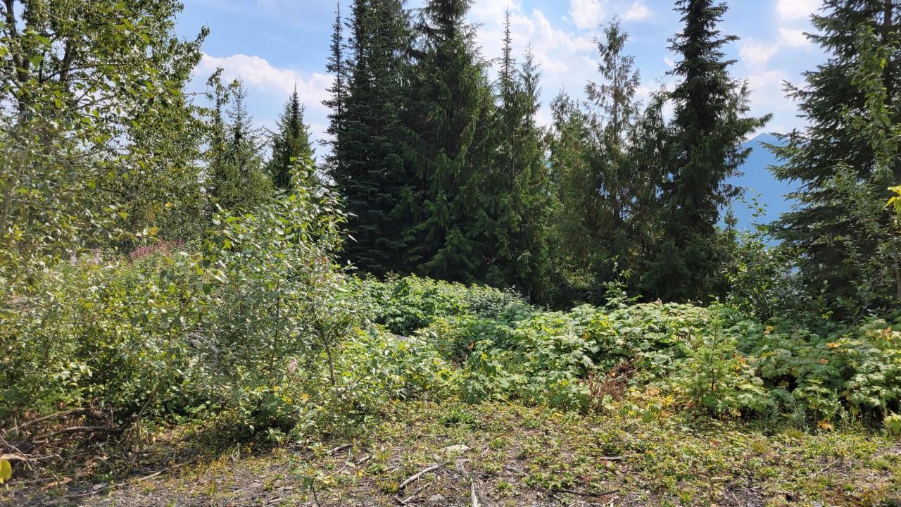
5 District lots, above Retallack, facing South and at an elevation between 1160m and 1440m. Subsurface Mineral Rights are included. Numourous skid roads and building sites. Decent subalpine forest. Logged maybe 25 years ago. 147 acres total, 2020 taxes were $1506.78. It may be possible to pull water/power off of Murray Creek or Whitewater Creek. No zoning or use restrictions. Access is over crown land using Murray Creek Forestry Road which was rerouted in 2020 from Retallack Townsite to a new highway access point 3km to the west. A PSI (Preliminary Site investigation) report is available. Waterfront Development Plan is required for DL1163. Sizes are DL1163 - 51.65 acres, DL1424 - 28.90 acres, DL1422 - 50.50 acres, DL1421 - 7.66 acres & DL1423 - 8.35 acres

